208: Pioneering Seismic Imaging for Energy and Sustainability
 2023-12-21
Download
Right click and do "save link as"
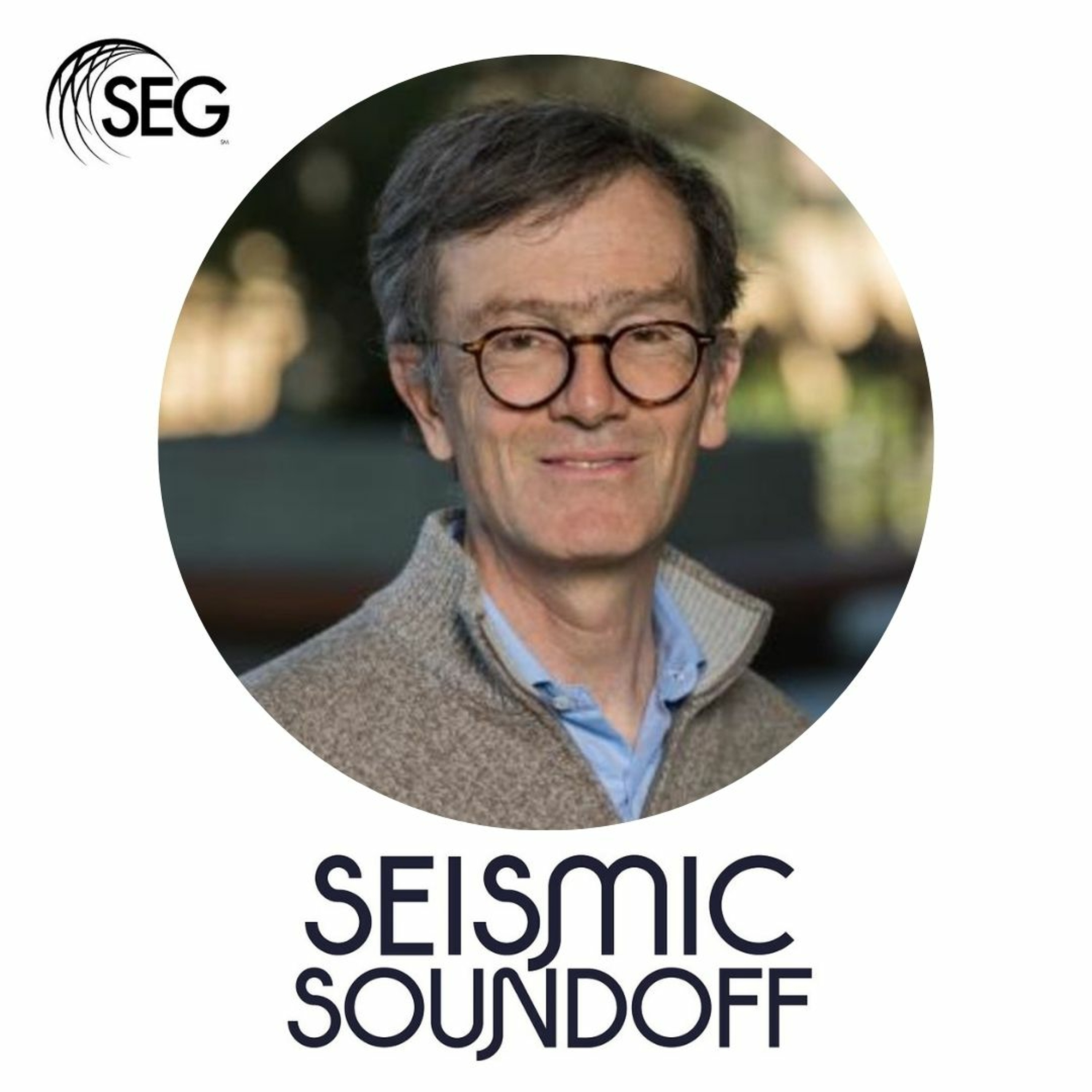
Biondo Biondi, the Director of the Stanford Earth imaging Project (SEP), joins Seismic Soundoff to discuss SEP's 50-year history and future outlook. Biondo reflects on SEP's founding during the 1970s oil crisis and today as it tackles modern energy challenges. Biondo discusses how improving seismic imaging can support the future of carbon capture and geothermal energy and help build resilient cities.
Biondo uses an article in The Leading Edge from 1987 on the then-called Stanford Exploration Project to offer insights into what we still know and don't know about geophysical data. He also shares why he believes so many SEP alums have been guests on this podcast!
The Stanford Earth imaging Project is an industry-funded academic consortium within the Geophysics Department at Stanford University. SEP research has contributed greatly to improving the theory and practice of constructing 3-D and 4-D images of the earth from seismic echo soundings. The consortium was started in the 1970s by Jon Claerbout and is currently co-directed with Biondo Biondi. SEP pioneered innovations in migration imaging, velocity estimation, dip moveout and slant stack. SEP has recently been involved in 3-D seismic applications such as velocity estimation, wavefield-continuation prestack migration, multidimensional image estimation, and 4-D (time-lapse) reservoir monitoring.
📋 Episode Chapters
(01:48) The Stanford Earth imaging Project celebrates its 50th anniversary
(10:48) Areas the Stanford Earth imaging Project will impact over the next decade
(12:49) The impact of Jon Claerbout's credo on the history and future of the SEP
(13:46) Using fiber optic cables to monitor CCS projects and other uses
(17:03) Biondo's challenge to the listeners
💬Guest Bio
Biondo Biondi is the Chair of the Geophysics Department at Stanford University and Director of the Stanford Earth imaging Project.
He and his students devise new algorithms to improve active and passive seismic data imaging. Because the datasets are enormous, and wavefield propagation needs to be accurately modeled to achieve high-resolution imaging, they need to harness the power of the latest computational hardware to test their methods on field data. Therefore, mapping imaging algorithms into high-performance architecture is essential to their research. The amount and quality of information they can extract from seismic data are directly linked to the temporal and spatial sampling of the sources and the receivers.
In the past several years, they have been working on methods to process data recorded by using fiber cables as seismic sensors. Fiber-optic seismic recording promises to enable cost-effective continuous seismic monitoring at a large scale. A particularly exciting possibility is leveraging preexisting telecommunication infrastructure to continuously record seismic data with dense arrays in urban environments. In 2016, they pioneered that idea by recording data under the Stanford campus. Since then, they have recorded data in San Jose and on a 48-km array under Stanford and neighboring cities.
✍️ Episode References
Visit https://seg.org/podcasts/episode-208-pioneering-seismic-imaging-for-energy-and-sustainability/ for the complete interview transcript and all the links referenced in the show.
CREDITS
Seismic Soundoff explores the scientific value and usefulness of geophysics.
If you want to be the first to know about the next episode, please follow or subscribe to the podcast wherever you listen to podcasts. Two of our favorites are Apple Podcasts and Spotify.
If you have episode ideas, feedback for the show, or want to sponsor a future episode, find the "Contact Seismic Soundoff" box at https://seg.org/podcast.
Zach Bridges created original music for this show. This episode was hosted, edited, and produced by Andrew Geary at TreasureMint. The SEG podcast team comprises Jennifer Cobb, Kathy Gamble, and Ally McGinnis.
view more
More Episodes
101: Why geophysics matters for geothermal
 2021-01-07
 2021-01-07
100: Top 10 tips for a successful career
 2020-12-30
 2020-12-30
97: How to start 2021 successfully
 2020-11-26
 2020-11-26
91: Previewing SEG20
 2020-09-29
 2020-09-29
90: SEG Celebrates its 90th Birthday
 2020-09-24
 2020-09-24
012345678910111213141516171819
Create your
podcast in
minutes
- Full-featured podcast site
- Unlimited storage and bandwidth
- Comprehensive podcast stats
- Distribute to Apple Podcasts, Spotify, and more
- Make money with your podcast
It is Free
- Privacy Policy
- Cookie Policy
- Terms of Use
- Consent Preferences
- Copyright © 2015-2024 Podbean.com


